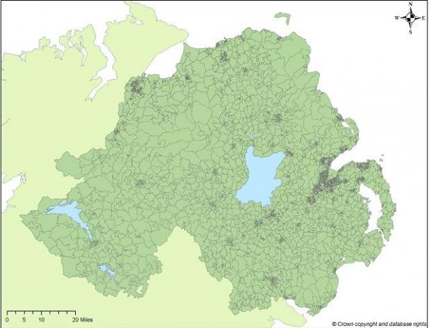
Overview
Our information paper (PDF, 332 KB) outlines the background of the statistical geography of Small Areas.
Small Areas were generally created by amalgamating 2001 Census Output Areas.
Small Areas nest within the 890 Super Output Areas and the 582 former Electoral Wards in Northern Ireland. There are 4,537 SAs in Northern Ireland.
Small Areas do not nest within the 11 Local Government Districts (LGD2014) or the 80 District Electoral Areas (DEA2014), but best-fit lookup tables have been created.
Look-up tables and guidance documents
A number of look-up tables and guidance documents are available to show how other Northern Ireland geographies can be approximated using Small Areas, including:
- Local Government District (LGD2014)
- District Electoral Areas (DEA2014)
- Output Areas (2001 Census)
An additional look-up table (ODS, 351 KB) identifies the geographies (Wards, LGD1992, and Parliamentary Constituencies) within which a particular Super Output Area, Small Area, or Output Area is found.
Small Area boundaries in GIS format
Users are able to download Small Area digital boundaries in a number of formats:
- ESRI Shapefile
- MapInfo
Small Area attribute table
| Attribute | Description |
|---|---|
| SA_Code Name | Small Areas coding convention with ward name |
| SA_Code | Small Areas coding convention |
| Hectares | Area in hectares |
| X Co-Ord | Geographic coordinate easting for geographically weighted centroid |
| Y Co-Ord | Geographic coordinate northing for geographically weighted centroid |
Geography preview

