Overview
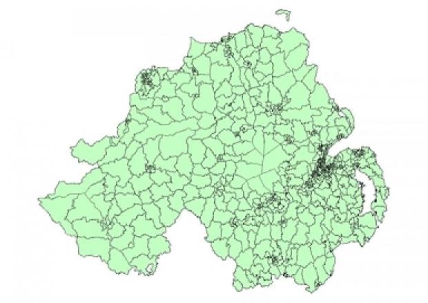
A set of slightly revised Super Output Areas (SOAs) were created for Census 2011 outputs. Details on what changes were made are included in the SOA Background Paper.
Look-up tables and guidance documents
Super Output Areas (SOAs) do not nest within the 11 Local Government Districts (LGD2014); however, a best-fit look-up table and guidance document have been created.
An additional look-up table (ODS, 351 KB) identifies the geographies (Wards, LGD1992, and Parliamentary Constituencies) within which a particular Super Output Area, Small Area, or Output Area is found.
Super Output Area boundaries in GIS format
Users are able to download Super Output Area digital boundaries in a number of formats:
- ESRI Shapefile
- MapInfo
Super Output Area attribute table
| Attribute | Description |
|---|---|
| SOA_Label | SOA labelling convention |
| SOA_Code | SOA coding convention |
Geography preview

